Best Levelling survey from SSAAR Geo Analyst
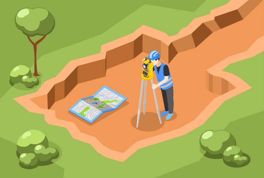
SSAAR Geo Analyst is one of India’s most experienced and leading Levelling company services. We have a long tradition of quality service, strong execution, and lasting customer relationships. levelling survey method that evaluates the height between two points on the Earth’s surface. The Earth is an oblate spheroid, so the horizontal plane is always a curved surface, never a flat surface. The Levelling concept deals with the measurement of the vertical plane compared to the horizontal sight line and is very useful in railway and highway areas.

Leveling survey process
We offer a wide range of levelling survey in India so you can own entire golf courses, sports ovals, parks, and commercial areas according to your specifications and needs. The survey is conducted with high precision using state-of-the-art digital machinery.
Therefore, sub-millimeter precision is required. Hence, state-of-the-art machinery is used and operated by experts who are the best in the field and are in great demand.
Estimate/proposal
- Quotation requests will be responded to within one business day of your inquiry.
- We estimate everything from small-scale to very large-scale survey projects.
- We offer affordable prices for your peace of mind.
- We will inform you about the inspection/delivery date soon.
Field survey
- The survey is done accurately and in detail using 3D scanners and total stations.
- We will respond immediately to urgent work.
- We can survey not only the building but also the surrounding land.
- Our survey service is available in India.
Drawing package
- Drawings are created in DWG format using Autodesk AutoCAD.
- An organized drawing layout speeds up your design work.
- Creates PDF images by default for accessible paper markup.
- Create floor plans, elevations, sections, roof plans, etc.
Aftercare
- Make unlimited changes to images as needed.
- We guarantee your 100% satisfaction with our service.
- No advance payment is required; cost will be due upon delivery of drawings.
- Provide tips and advice about CAD.
Types of levelling done by SSAAR Geo Analyst
SSAAR Geo Analyst is one of the leading levelling survey companies in India. Levelling surveying requires precision in measurement, and a spirit level can accurately measure the elevation of a point. They have many applications in monitoring and surveying buildings, dams, earthworks, etc. Classes are graduated staff and are used to determine elevation and elevation differences. Made of aluminum, it is lightweight, portable, and durable with little wiggle room in measurement.
Barometric levelling
Because atmospheric pressure decreases as altitude increases, this is a simple Levelling method in which surveyors use a barometer to determine length from changes in atmospheric pressure.
Profile Levelling
The process of determining the elevation of points along the road centerline during the phase gate phase of a project is skillfully done by the SSAAR Geo Analyst before any linear engineering work.
Mutual Levelling
When distances are long, and property lines cannot be balanced, such as in the case of points on both sides of a river, our levelers maintain equal distances from the front and rear staff stations, and when required, there is no option for profile Levelling.
Differential Levelling
Our Levelling survey services in Rajasthan determine the fallen level or set a standard for a point at a certain distance.
Precise Levelling
We perform this specialized Levelling method to establish highly accurate benchmarks at widely varying locations, and we typically do this to meet government GST-approved benchmarks.
Vertical Levelling
Surveying of Levelling works is carried out on the center line of a proposed engineering project, such as a road, railway, or canal, to obtain a record of the relief of the Earth’s surface.
Cross-Levelling
To determine information about the ground level on either side of the profile, our team of surveyors performs cross-Levelling to calculate the earthwork.
Simple Levelling
Our levelers use a spirit level to measure the difference in level between two points to determine the elevation of a point.
Fly Levelling and Check Levelling
Our surveyors do differential Levelling to connect the benchmarks to the starting point of project alignment, called fly Levelling. Fly Levelling is done at the end of the day’s work, and check Levelling is done at the beginning of the day.
Levelling in surveying regulates the height of one level relative to next level. This is important when creating and measuring buildings, other architectural assets, and landscaping. Our experts operate networks of all sizes and levels of precision. Levelling survey company in India works closely with you to confirm assignment execution and measurement point locations in advance. We use the best tools for the job and provide you with the accuracy you need for your project. The results are in a tabular format that can be imported into your GIS solution. For accurate Levelling, contact our survey operations department today.
Frequently Asked Question's
Levelling is a field of surveying whose purpose is to establish, verify, or measure the elevation of a given point relative to a reference point.
The primary purpose of Levelling survey is to determine the raise of a given level comparative to a fixed reference level. We establish a moment at a specified or varying altitude close to a given or assumed reference point.
The process of Levelling along a defined line and determining the ground surface height along that line is known as profile Levelling.
Levelling plays a vital role in survey science. Levelling is the most widely used and essential part of the field.
