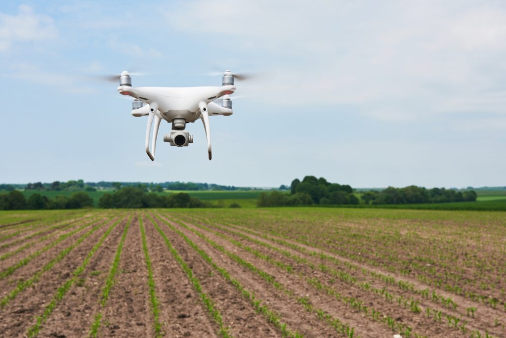
Reliable Drone survey Service in India
SSAAR Geo analyst is conducting a first-class Drone Survey in Rajasthan with the help of photogrammetry and modern drones. Drone mapping can be done with the help of quadcopters and fixed-wing aircraft. The choice of platform depends on your needs, budget, and the area you need to fly. Image stabilization helps keep flight images clear even in low-light conditions or with fast-moving subjects. Aerial photographs can be taken from an oblique or vertical angle. These can be referenced with a GPS, captured as panoramas, or displayed together if desired.
SSAAR Geo Analyst – Best Drone Survey Company in India
Drone survey company in India use powerful tools for mapping and surveying. It can fly above the ground and efficiently perform tasks like 3D mapping, land survey, photogrammetry, and topographic survey. Client groups include real estate marketing, design and advertising, construction, transportation, tourism, government, and public relations.
SSAAR Geo Analyst is the best Drone Survey Company in India, our web-based drone survey platform permits you to host, view, share, and team up on drone data, including contours, orthophotos, DEMs, and drone videos for infrastructure monitoring, planning project progress, and more. Help critical businesses and government agencies manage assets.
Benefits of Drone survey company in India
High-resolution visual monitoring
Construction sites rely heavily on visual surveillance. Drone surveys digitally capture all angles of a project, providing instant analysis that can be used to monitor progress and make decisions on-site. Real-time site management is critical to staying within budget and on time. Aerial imagery improves visibility and site access, resulting in more accurate reporting, work quality, and better control.
Better progress monitoring
Construction sites cover a large area and have many work areas. Aerial footage from drones can monitor progress, productivity, and accountability. Drone surveys allow managers to see why something isn’t working or taking too much time and address issues before spending money or wasting valuable time.
Transparency with stakeholders
Expand communication with investors by providing instantaneous video visibility into investment improvement, even when they are not on location. This allows customers to stay informed and clearly understand their progress.
Centralized communication with internal teams
Drone surveying makes it easy to collect and share data with internal teams like designers, engineers, inspectors, and workers. A central location to upload and store data allows anyone to access it for future reference to check progress, resolve problems, and increase productivity.
Better security
Construction sites are full of safety hazards, with injury rates 71% higher than any other industry. Drones significantly reduce the risk of injury by eliminating the need for workers to perform inspections in inaccessible or dangerous locations. The drone can collect information from anywhere on the survey site, regardless of the situation.
Save time and money
Drone surveys can work faster and more efficiently than humans. This allows construction teams to be more productive and complete projects faster.
Uses of Drone Survey in India
Land survey/mapping
Survey drones produce high-resolution and detailed 3D models of areas. So, high-precision cadastral maps can be created easily and quickly, even in complex or difficult-to-access situations. Surveyors can also abstract structures such as signs, road markings, sidewalks, fire hydrants, and drainage ditches from images. After post-processing in photogrammetry software, highly detailed elevation models, contours, and break lines can be generated from these images, creating a 3D reconstruction of land and buildings.
Land Management and Development
Aerial photographs taken by drones make surveying terrain for land management and planning much faster and simpler. This applies to site surveys, parcel planning and design, and even the final construction of roads, buildings, and public facilities.
Data collection by drone is low-cost and easily reproducible, allowing images to be taken at regular intervals and superimposed on original blueprints to assess whether construction work is progressing according to plan.
Accurate measurement
High-resolution photos allow evaluators to make highly precise surface and distance measurements.
Stock measurement
Drones allow surveyors to capture more terrain data points, allowing for more accurate volumetric measurements. This allows you to do this more securely than going back and forth to the repository and retrieving data manually. Drones capture data from above, so work on-site remains uninterrupted. Short recovery time allows you to take a snapshot of your site at a specific time.
Slope monitoring
Drones allow for more comprehensive data collection compared to traditional surveillance methods that place sensors at a single point. Drones with PPK capabilities that do not require the deployment of multiple GCPs are ideal for this application. This is because these areas are often difficult or dangerous to access.
Urban planning
Growing increasingly dense and complex urban areas requires intensive planning, resulting in time-consuming and expensive data collection. Drones allow urban planners to collect the latest data in less time and with much less staff.
SSAAR Geo Analyst has rapid team mobilization and project delivery capabilities with our drone fleet and network of drone pilots spread across India. Our system uses multirotor and fixed-wing UAVs that can carry payloads such as high-zoom cameras, thermal cameras, NIR sensors, and cameras with multiple spectral sensors.
Frequently Asked Question's
As the drone flies overhead the ground, its usages downward-facing devices and multispectral and RGB cameras to capture pictures. Additionally, many drones are equipped with features that help them gather information.
You may be wondering if drones are better than these traditional methods. These drones can obtain data at vantage points humans cannot reach, especially in areas with rugged terrain. Drone surveys allow surveyors to collect data more safely and faster than traditional methods.
The quality of camera resolution, the altitude at which the drone flies, and the methods and techniques used to localize aerial imagery can significantly impact the accuracy of drone survey mapping.
Drone surveys can be very cost-effective. However, the cost of conducting a drone survey in Rajasthan depends on various factors, such as the type of terrain, the output of the drone survey, and the weather.
